
01 MOBILITY & ACCESS
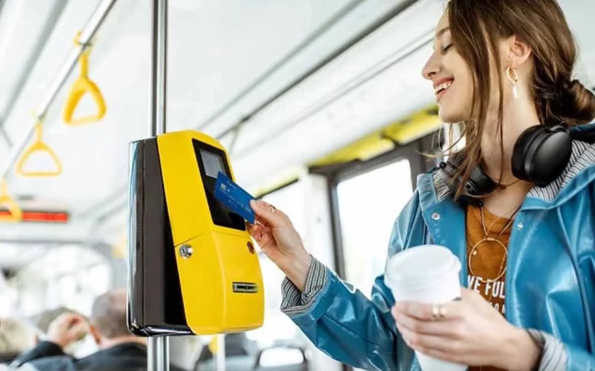
A more connected metropolitan network
New transport axes, rapid transit and road connections strengthen access to growing districts.
View mobility projects ↗An accessible view of the development programmes, infrastructure, economic activity and urban expansion shaping the region — with project sources and clearly distinguished planning statuses.
Agadir’s evolution goes beyond preparation for the 2030 World Cup. Connectivity, public space, neighbourhoods, jobs and services are changing the structure of the city.
New transport axes, rapid transit and road connections strengthen access to growing districts.
View mobility projects ↗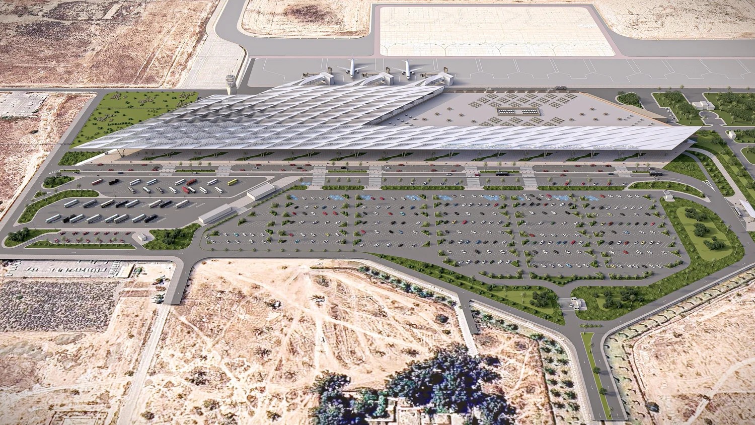
Airport, stadium, parks and cultural investments support a more diverse visitor and service economy.
View public-realm projects ↗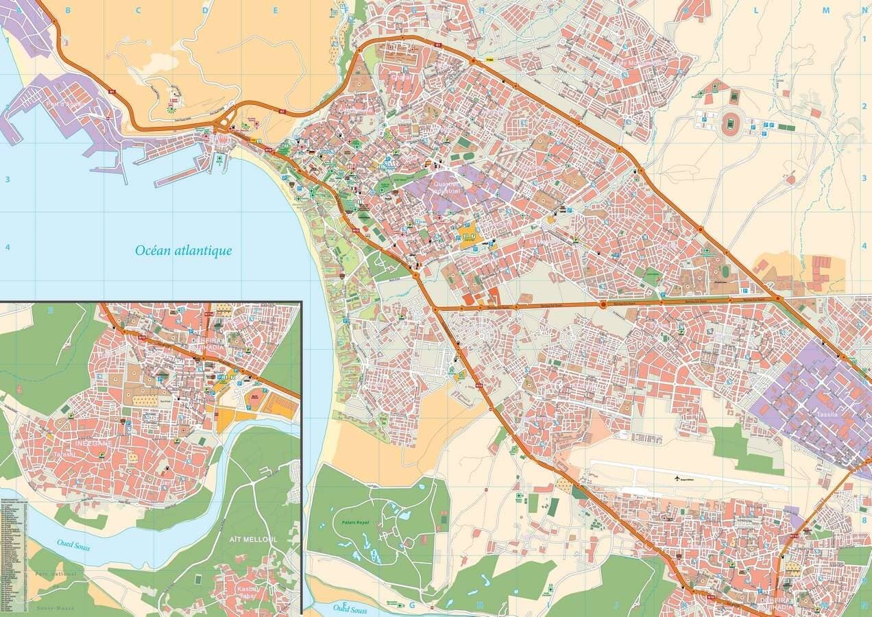
Sector planning is creating a framework for housing, infrastructure and new activity across Greater Agadir.
View growth zones ↗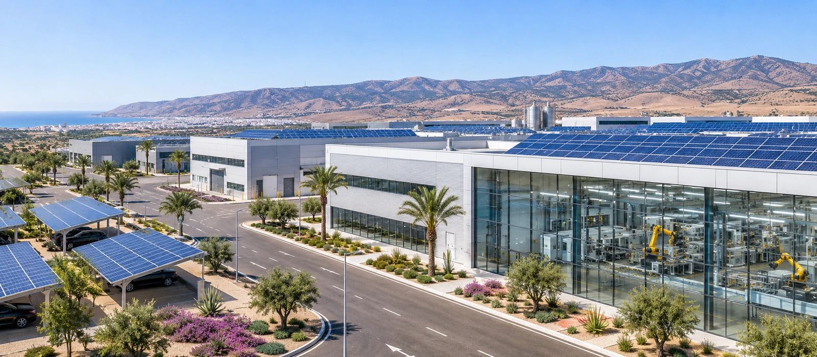
Industrial zones, logistics, agri-food and technology diversify opportunities and support permanent employment.
View economic projects ↗Selected areas referenced in the existing Agadir development presentation. Areas are planning extents, not net residential land.
Approved in 2022. A mixed centre around health, sport, education and services.
Sector plan homologated in 2026; long-term urban expansion.
2026 draft plan for urban structure, roads, services and green spaces.
Development plan targeting capacity for 76,585 residents by 2035.
Explore all projects from the current Agadir presentation. Filter by sector or search for a project, district or status. Each entry links to its original source.
40 projects shown
 01
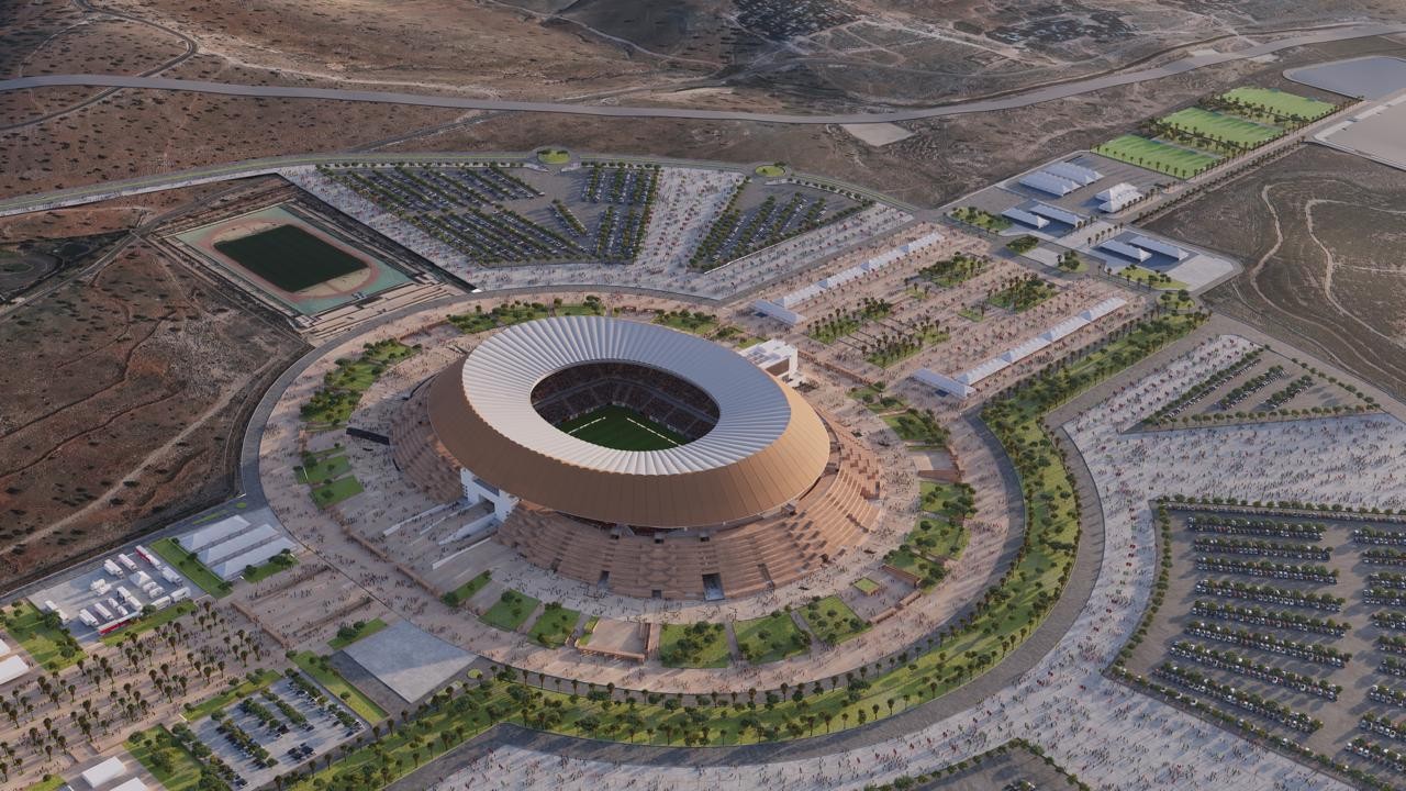
Full roofing, façade and hospitality upgrades ahead of 2030. The stadium district is becoming a year-round event and visitor destination.
Source: SONARGES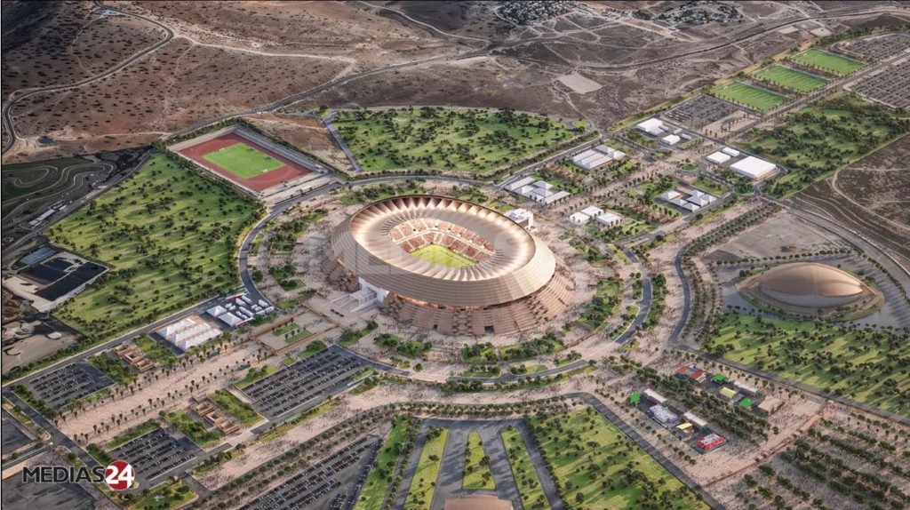 02
Landscaping, pedestrian space, roads and parking turn the stadium into an urban district rather than a stand-alone venue.
Source: Médias24 / project context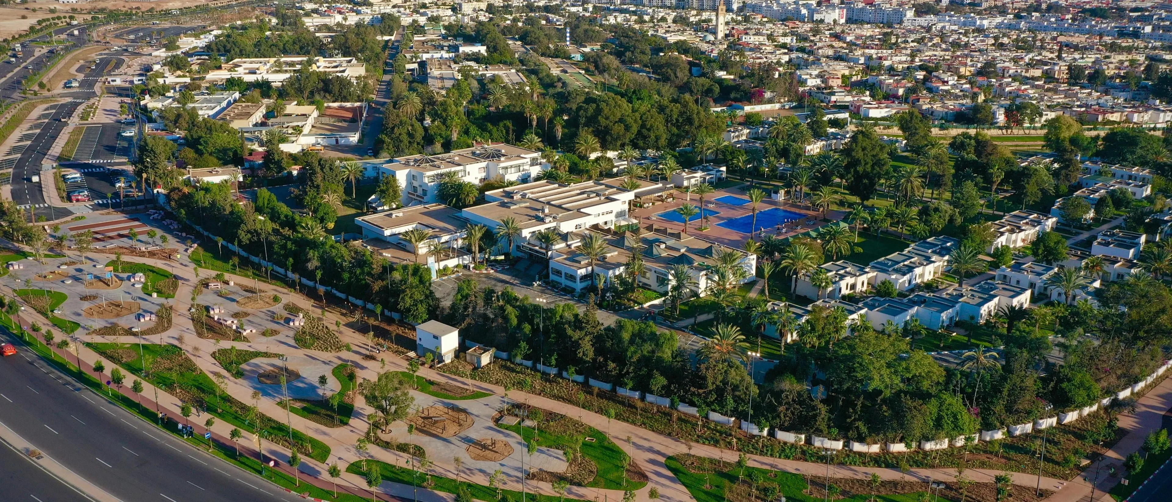 03
A new mixed-use centrality around the stadium and university hospital, combining health, sport, education, housing and services.
Source: Agadir Urban Agency / plan context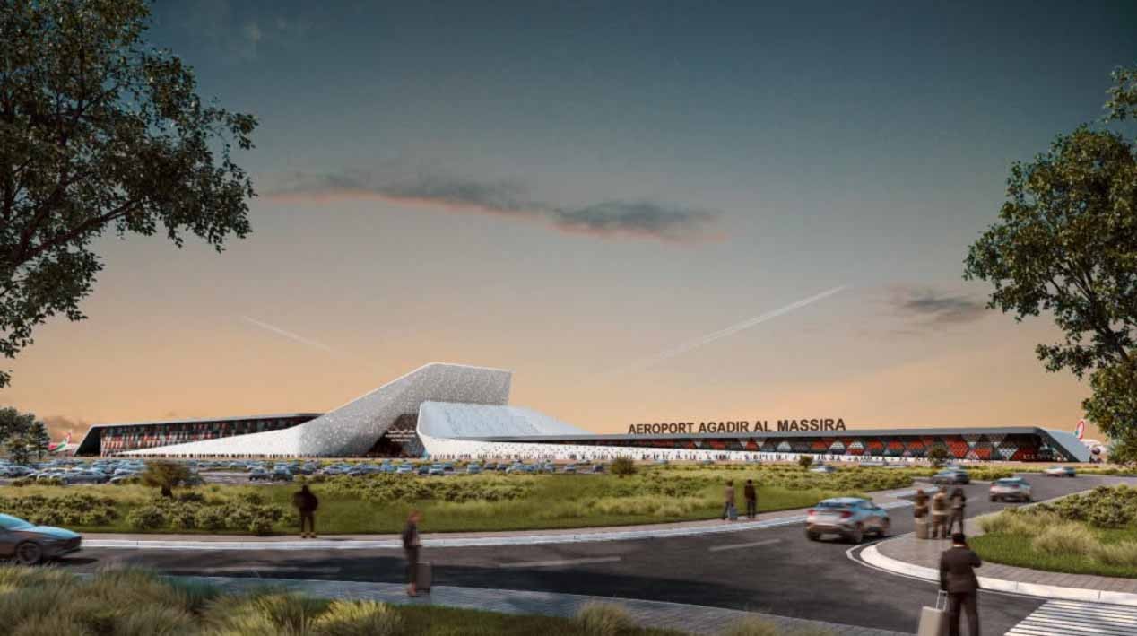 04
ONDA has announced a terminal expansion path designed to take total capacity toward 7 million passengers per year, strengthening tourism and business access.
Source: ONDA / architect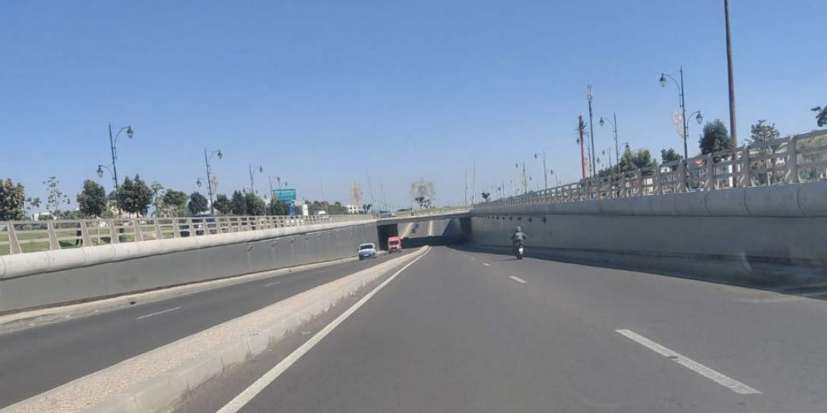 05
Improves movement between the airport side, eastern growth areas, the port and the north of the city.
Source: Le360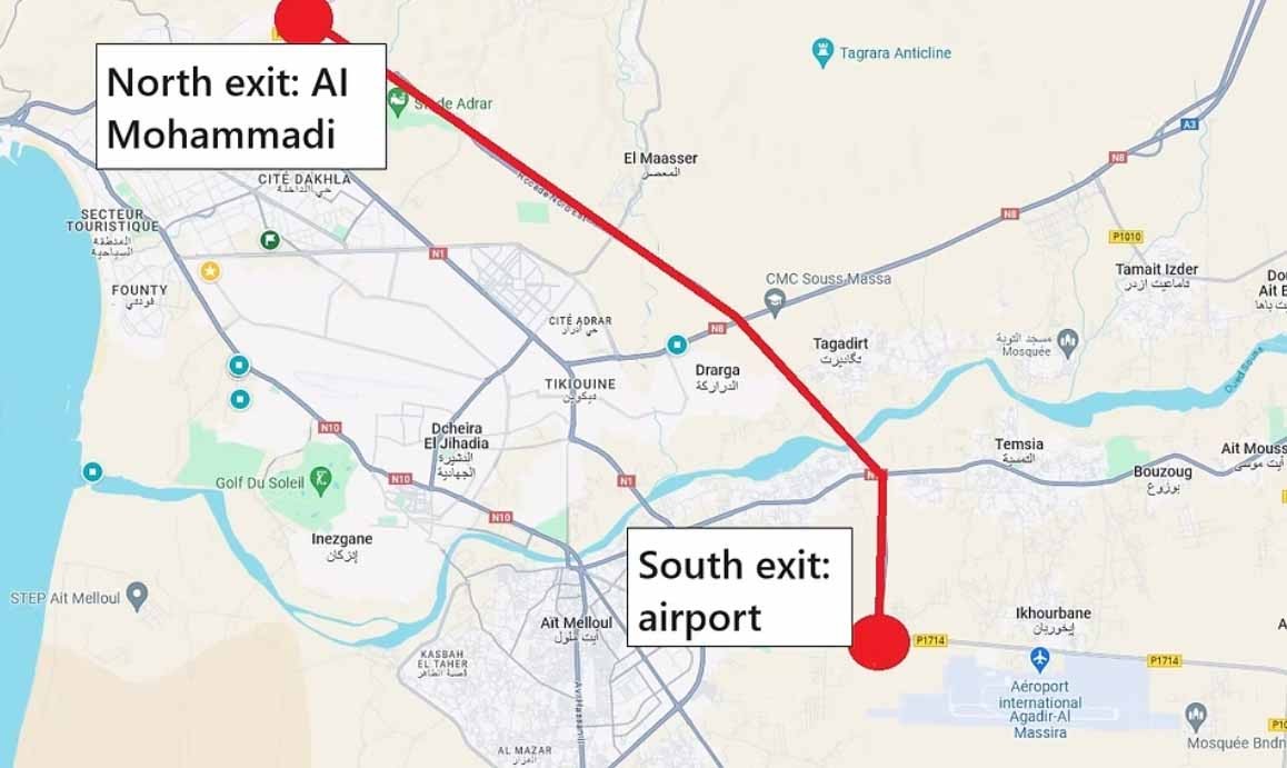 06
A grade-separated junction designed to reduce congestion on a strategic approach to the expanding metropolitan road network.
Source: Médias24 / context map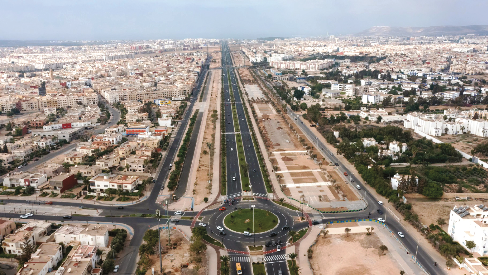 07
A high-capacity urban route intended to remove through-traffic bottlenecks and improve cross-city accessibility.
Source: Agadir Souss-Massa Aménagement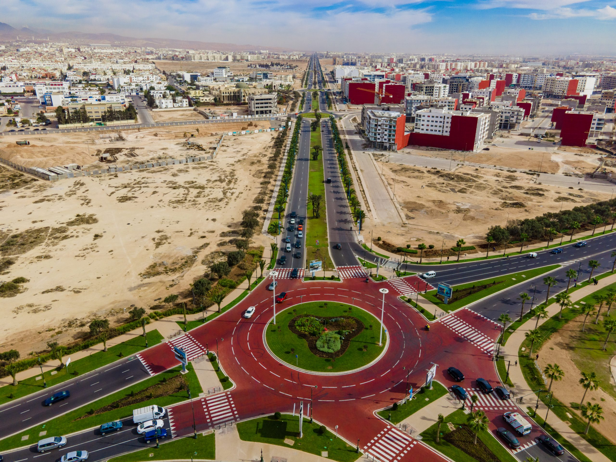 08
A new east–west corridor combining road capacity, walking, cycling, landscaping and public space, opening access to growth districts.
Source: Agadir Souss-Massa Aménagement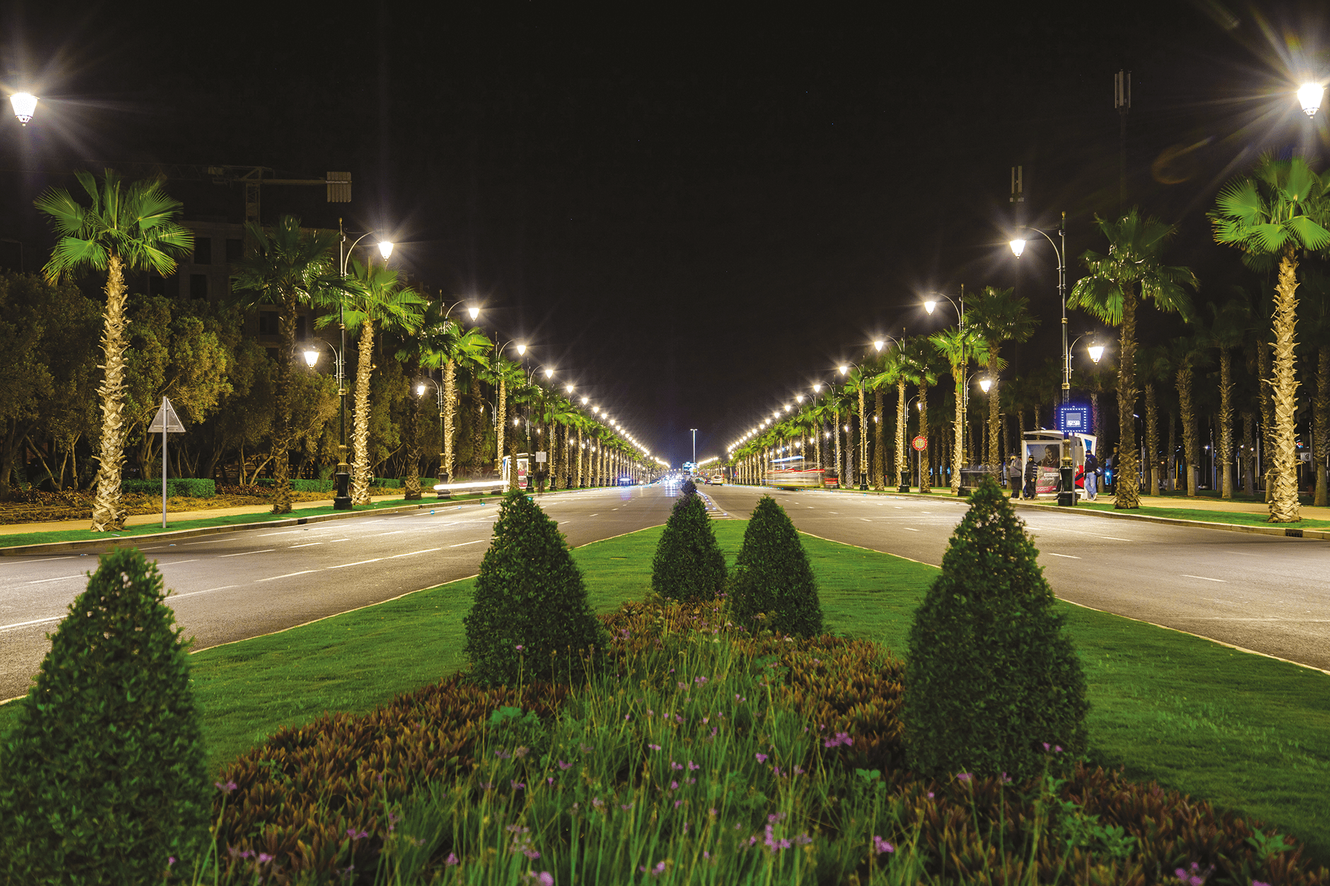 09
Major avenues are being widened or redesigned, raising the quality and accessibility of existing urban frontage.
Source: Agadir Souss-Massa Aménagement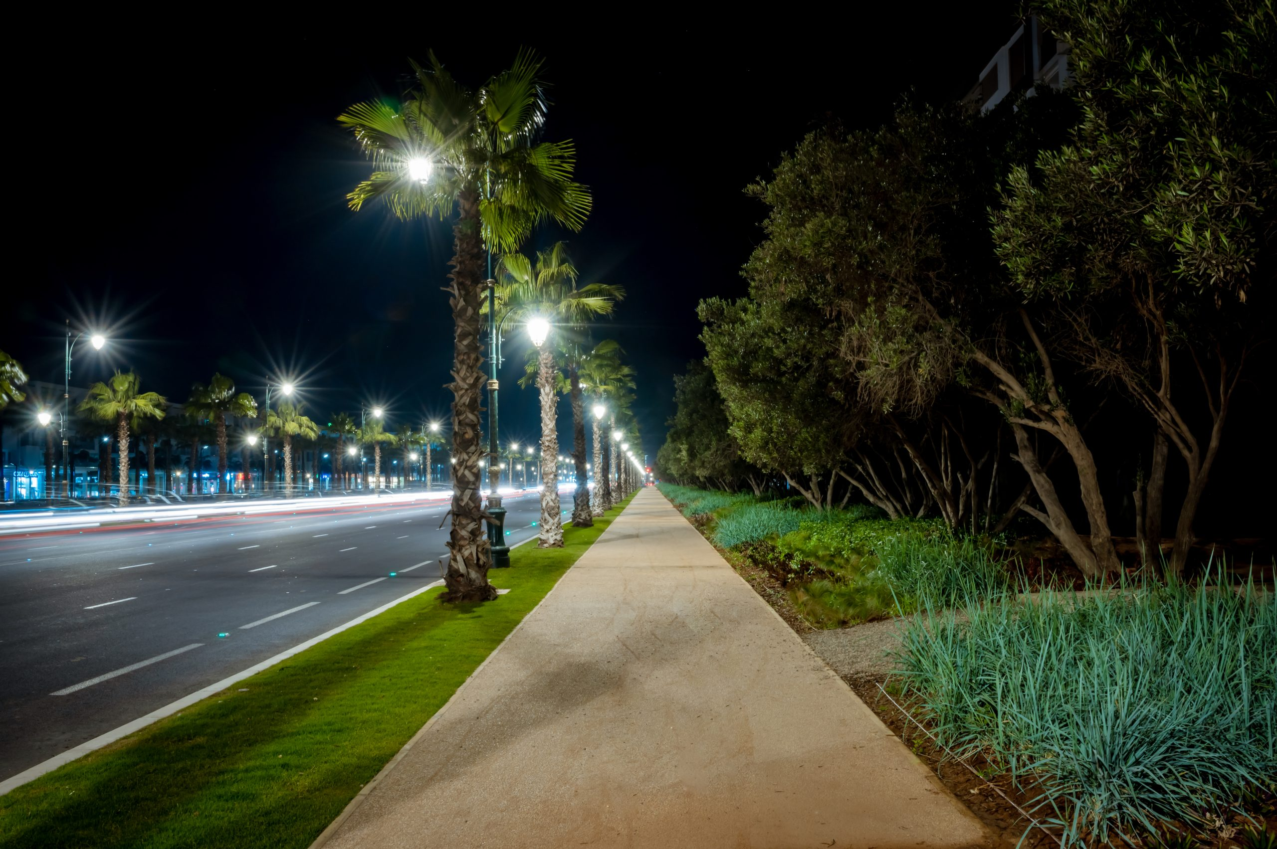 10
The principal gateways to Agadir are being rebuilt and landscaped, improving first impressions and access to surrounding districts.
Source: Agadir Souss-Massa Aménagement 11
The first high-level bus corridor links the port with Tikiouine while upgrading streets and public space along the route.
Source: Agadir Mobilité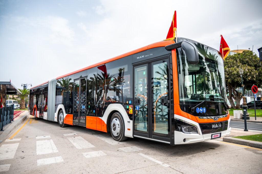 12
Planned rapid-transit expansion toward Inezgane and Aït Melloul would extend the catchment of the metropolitan public-transport network.
Source: Agadir Mobilité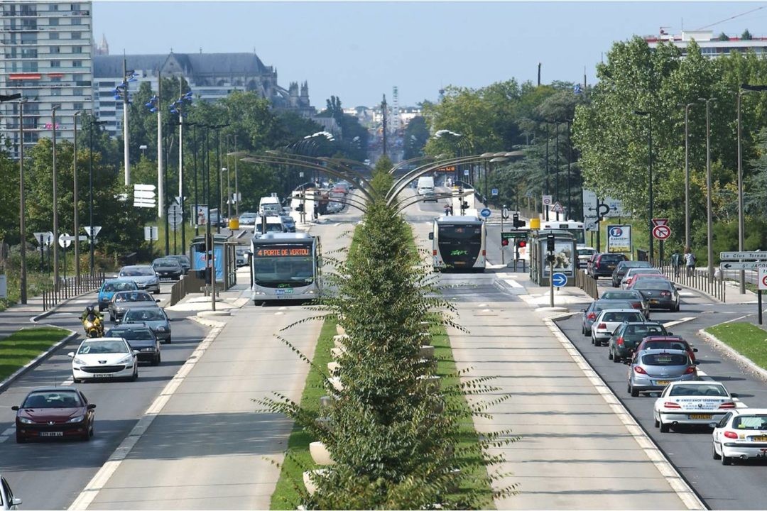 13
A proposed link toward Drarga, Dcheira and employment zones would connect housing growth with industrial and logistics activity.
Source: Agadir Mobilité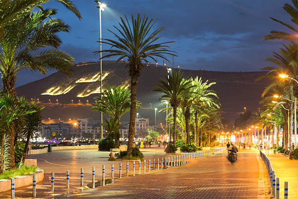 14
The beachfront visitor economy is being reinforced through public-space, recreation, landscaping and access upgrades.
Source: Agadir Souss-Massa Aménagement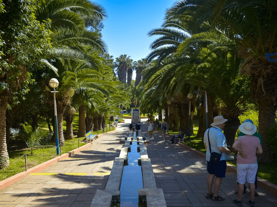 15
A central-city park is being renewed as a family, educational and tourism asset.
Source: Agadir Souss-Massa Aménagement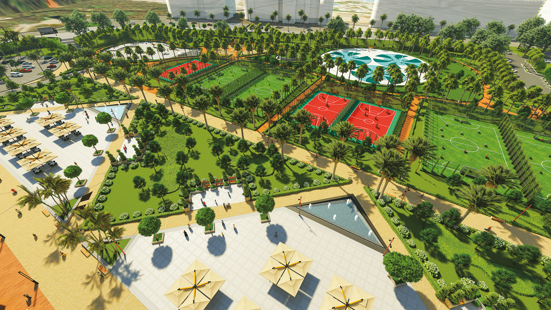 16
A major central green and cultural district combining public space, sport, parking and new cultural facilities.
Source: Agadir Souss-Massa Aménagement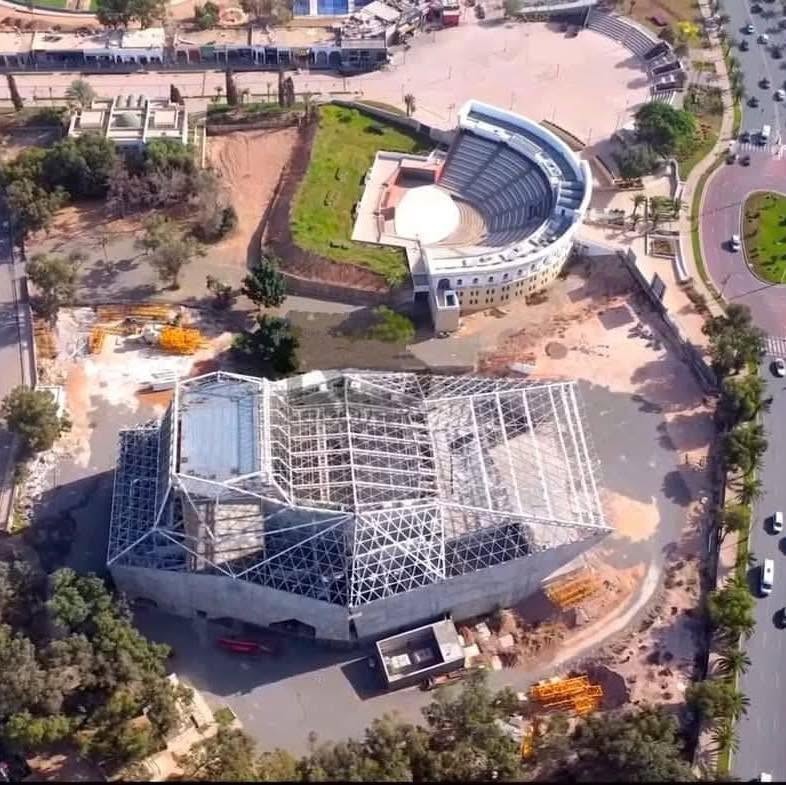 17
A flagship cultural venue within the Al Inbiâat district, adding year-round cultural activity to the city centre.
Source: Project / Agadir Souss-Massa Aménagement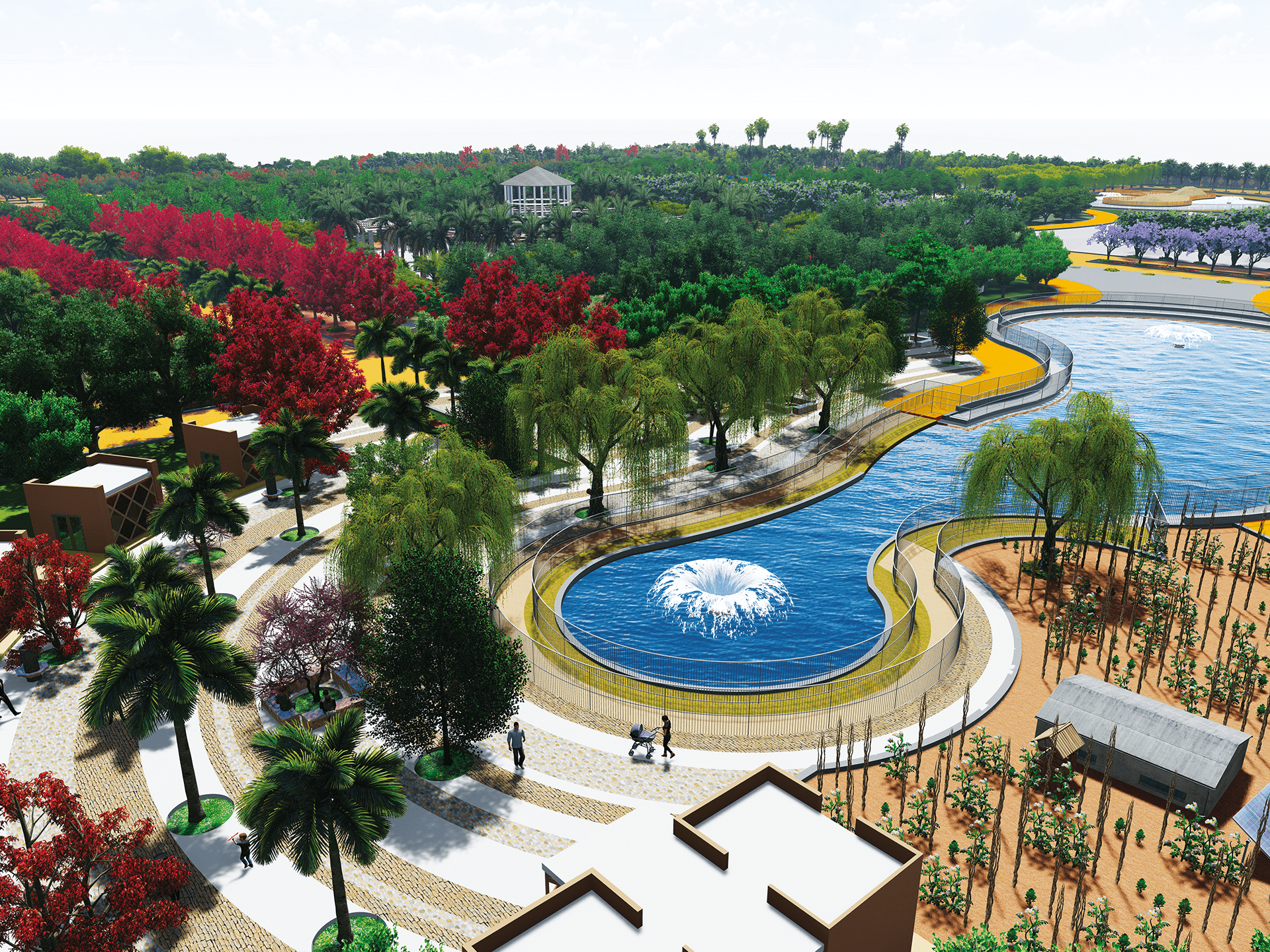 18
A large-scale park programme bringing sport, leisure and green infrastructure to an important eastern growth area.
Source: Agadir Souss-Massa Aménagement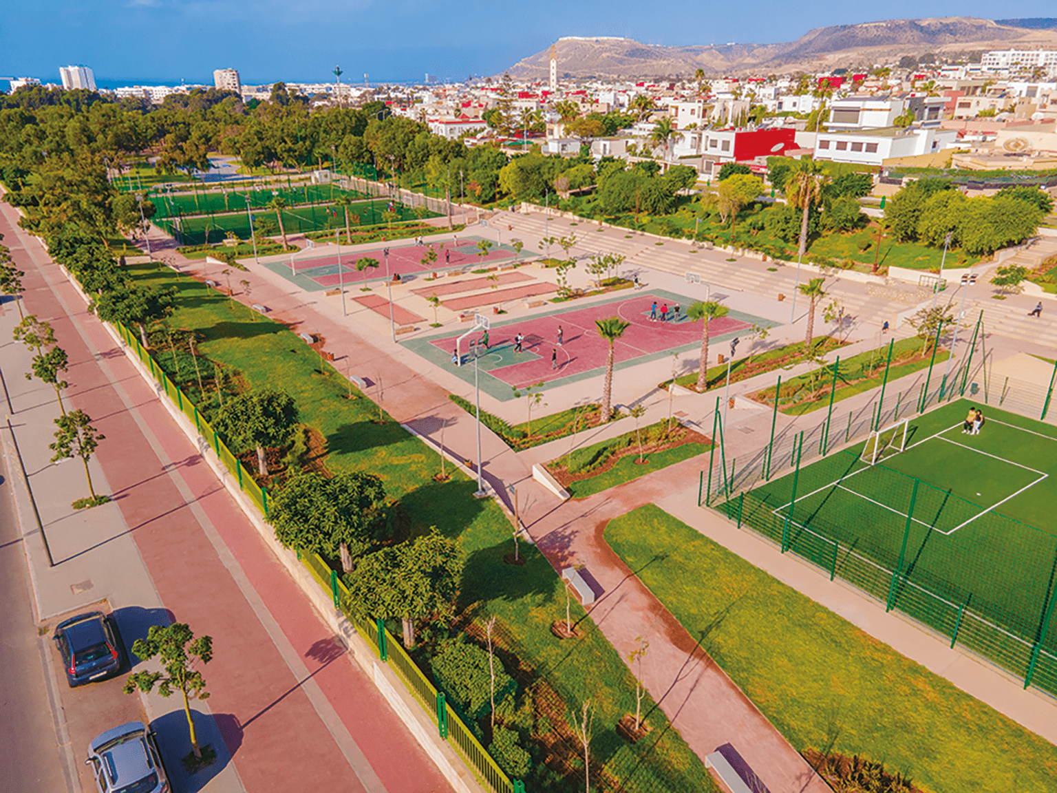 19
A visible example of the city-wide programme to raise the quality of everyday public space.
Source: Agadir Souss-Massa Aménagement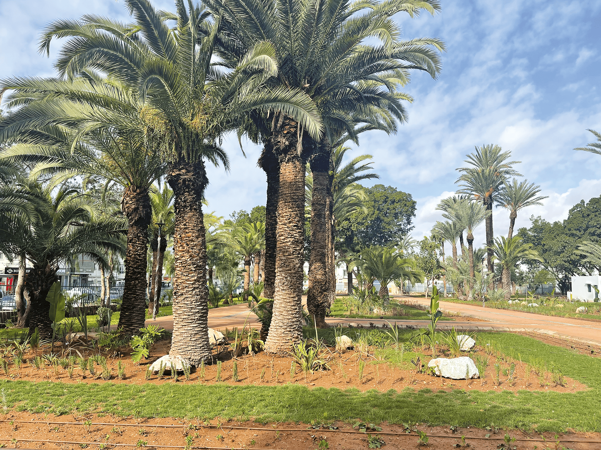 20
Historic gardens are being renewed to improve walkability, amenity and urban identity.
Source: Agadir Souss-Massa Aménagement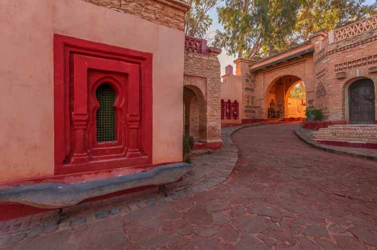 21
A new park accompanies wider neighbourhood-upgrading programmes and raises local residential amenity.
Source: Médias24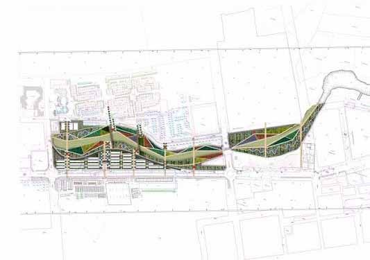 22
A linear green and recreation project adding sports, walking and cycling infrastructure to the urban fabric.
Source: City of Agadir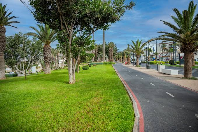 23
An expanding network of parks, gardens and green corridors supports quality of life and climate resilience.
Source: City of Agadir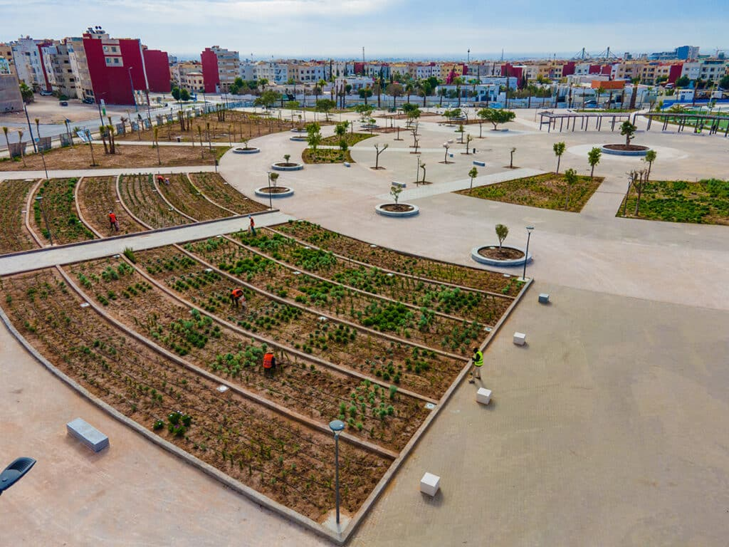 24
Roads, lighting and public-space improvements extend renewal beyond the tourism core into residential neighbourhoods.
Source: City of Agadir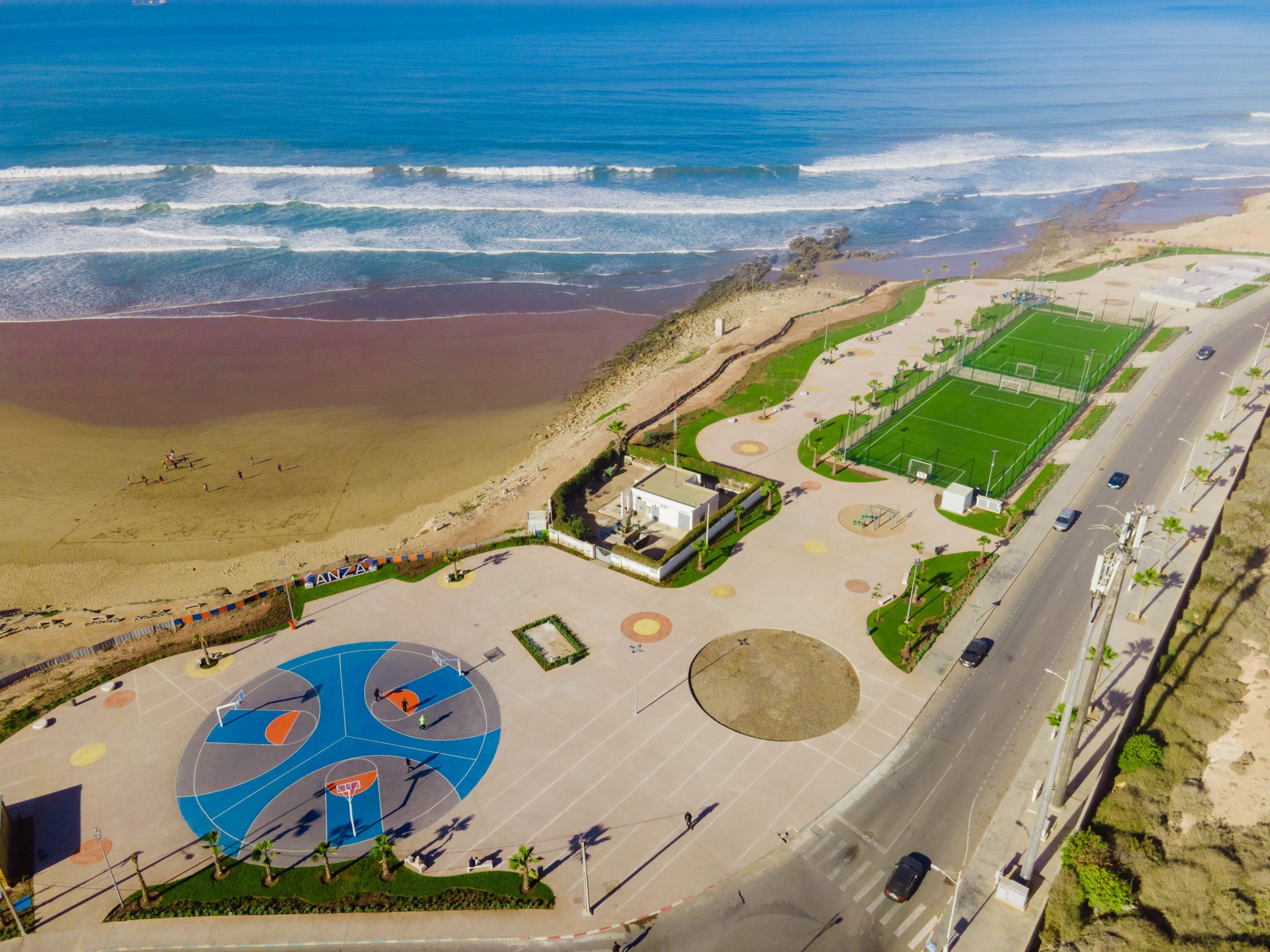 25
Improved access, lighting and public amenities can change the attractiveness of previously under-served residential areas.
Source: City of Agadir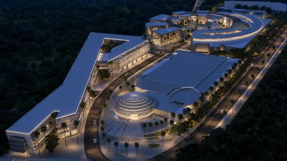 26
Business events diversify demand beyond traditional beach tourism and help support year-round hospitality occupancy.
Source: Project / Médias24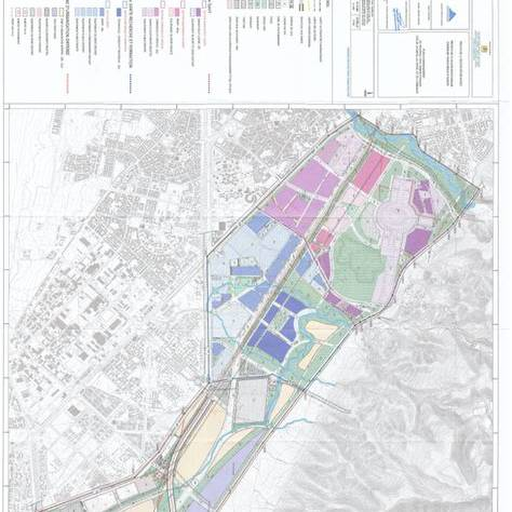 27
New planning rules on the northern side can unlock additional development while structuring Anza and the coastal corridor.
Source: Agadir Urban Agency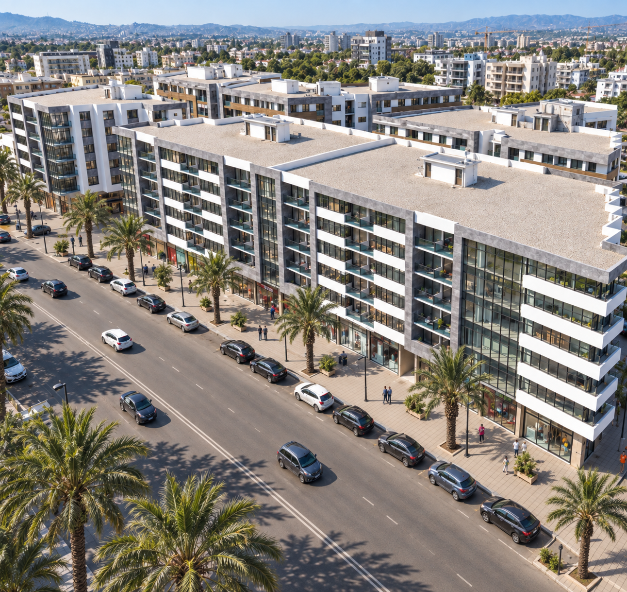 28
A large southern planning area provides a framework for future housing, roads, services and commercial activity.
Source: Agadir Urban Agency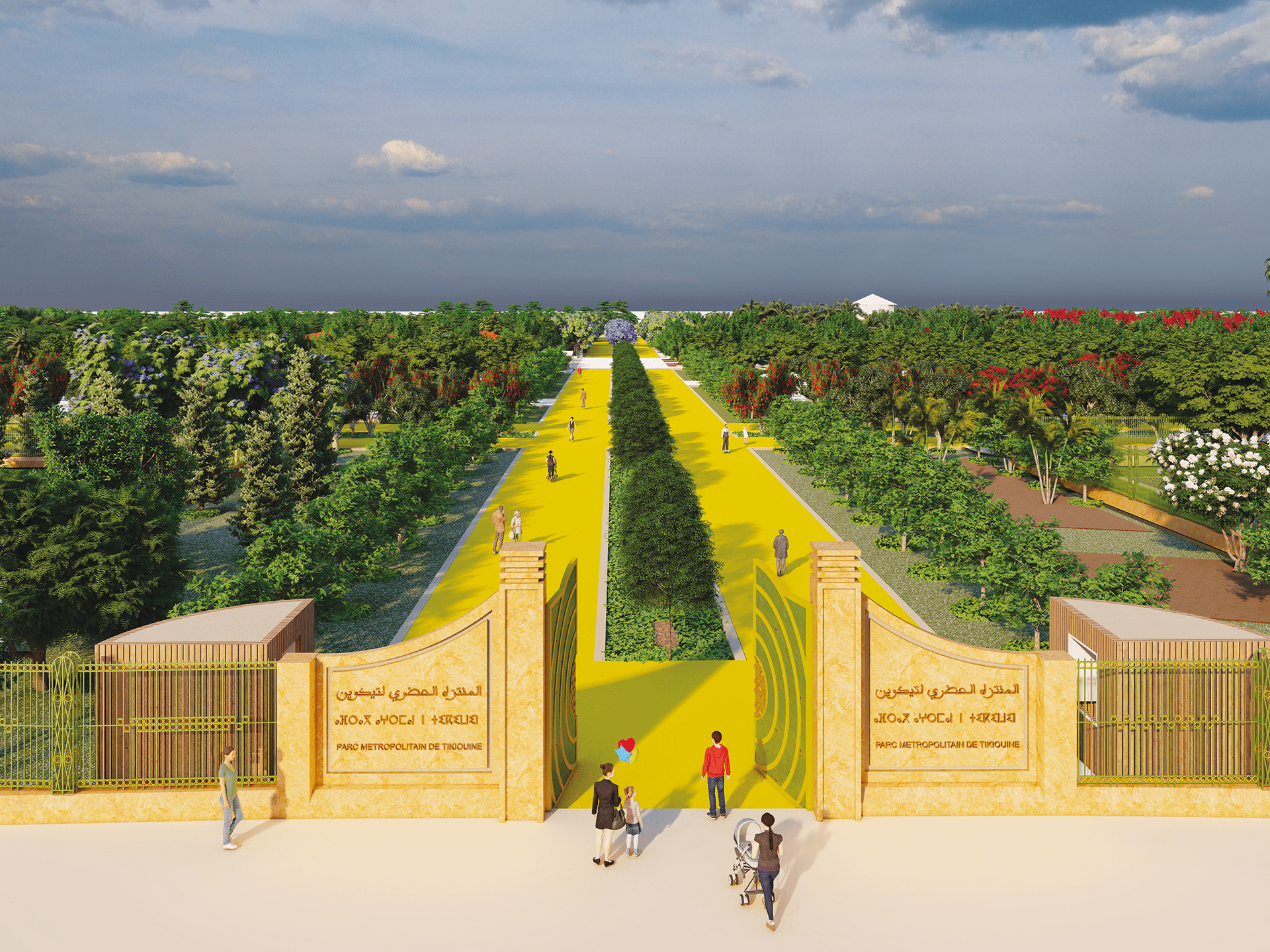 29
The approximately 1,462-hectare draft plan links Tikiouine more strongly to Drarga and Dcheira and programs roads, facilities and green space.
Source: Agadir Urban Agency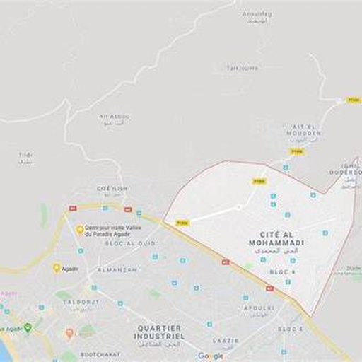 30
A major existing growth district where housing, services and access improvements continue to extend the city eastward.
Source: Agadir Urban Agency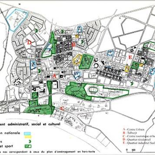 31
The northern coastal district sits between the port, established neighbourhoods and the wider coastal tourism corridor.
Source: Agadir Urban Agency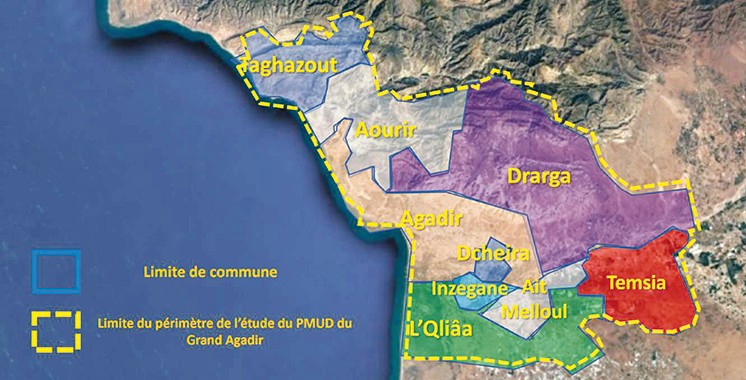 32
The approximately 62 km² Temsia plan is designed for a future population of 76,585 by 2035 and stronger links with Drarga and Grand Agadir.
Source: Agadir Urban Agency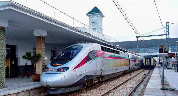 33
A long-term rail connection would materially change access to Agadir, but should be treated as a future project rather than completed infrastructure.
Source: ONCF / concept context 34
Land reservation around the new urban pole anticipates a future multimodal transport interchange.
Source: Agadir Urban Agency / plan context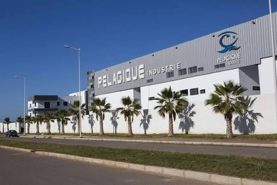 35
Agri-food, seafood processing and industrial activity create jobs on the eastern side of the metropolitan area and support nearby housing demand.
Source: MEDZ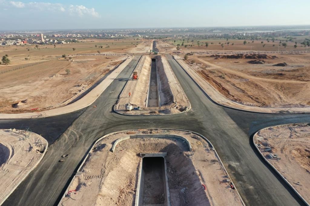 36
Export-oriented industrial development diversifies the regional economy and broadens the employment base beyond tourism.
Source: MEDZ / industrial platform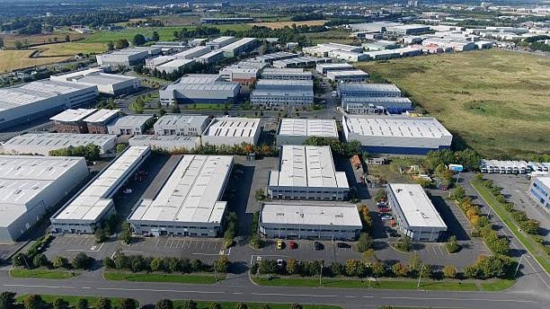 37
Additional industrial land near Drarga supports logistics, manufacturing and a larger permanent workforce.
Source: Industrial estate context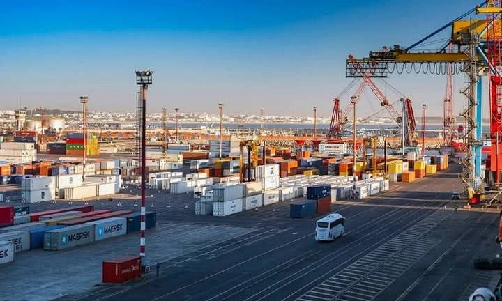 38
A dry-port concept would improve the connection between the port, industrial zones and national logistics flows.
Source: Project context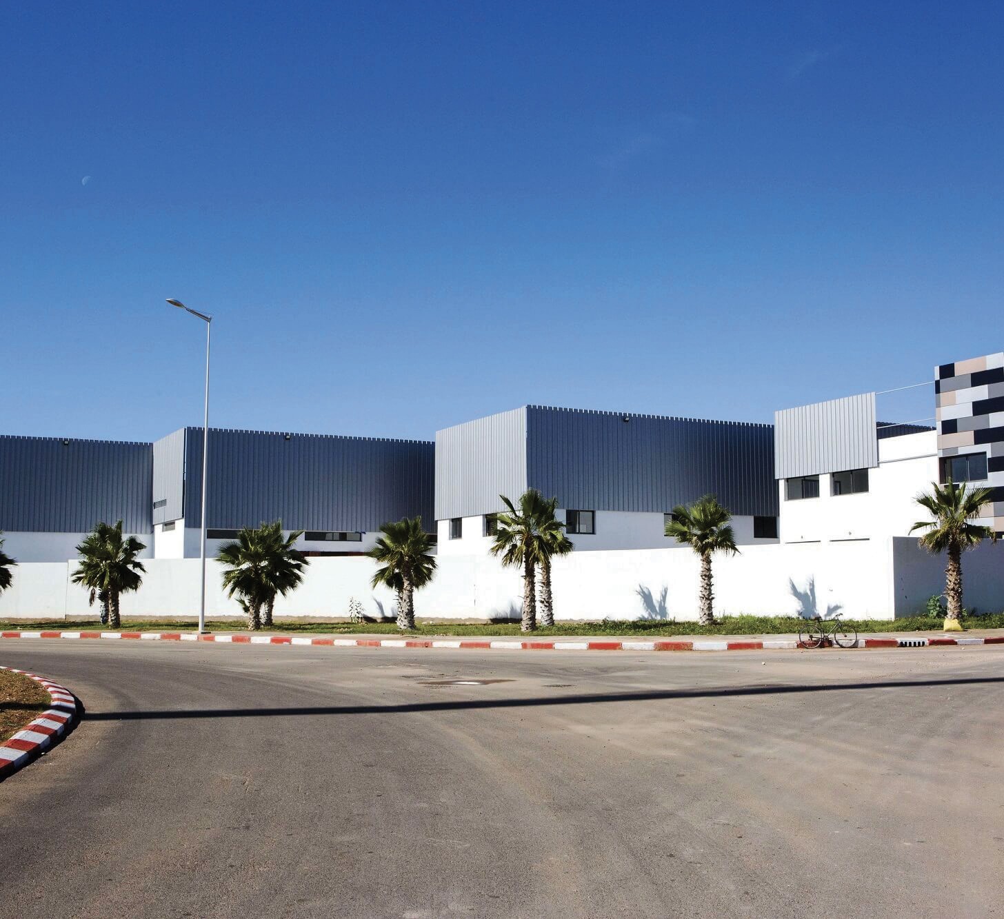 39
Technology and service-sector growth can add higher-value employment and diversify demand for offices and urban housing.
Source: Technopark / project context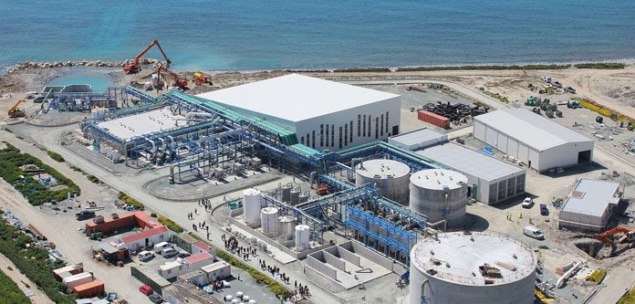 40
Desalination, wastewater reuse and network upgrades are enabling infrastructure for population growth, tourism, industry and urban greening.
Source: Regional / Green City contextPublic investment can influence mobility, accessibility, employment and land use. The most useful insights come from examining where those factors overlap — and distinguishing approved plans from future concepts.
Explore Agadir Investment